Past PROJECTS - completion date April 2026
QUIGLEY-HANGMAN CONNECTOR

PARTNERS
Wood River Trails Coalition
Bureau of Land Management - Shoshone Field Office
Blaine County Recreation District
Titus Trails
PROJECT COST
$—-,—-
ABOUT THE PROJECT
Accessible trails are community trails and help create trail networks where everyone can find their place.

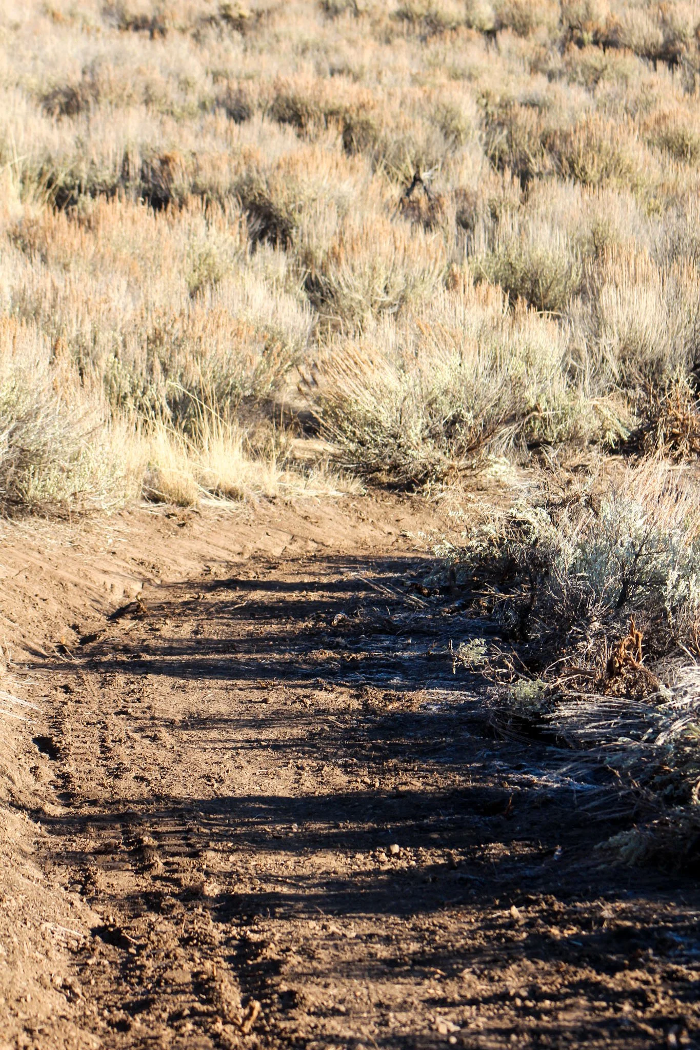
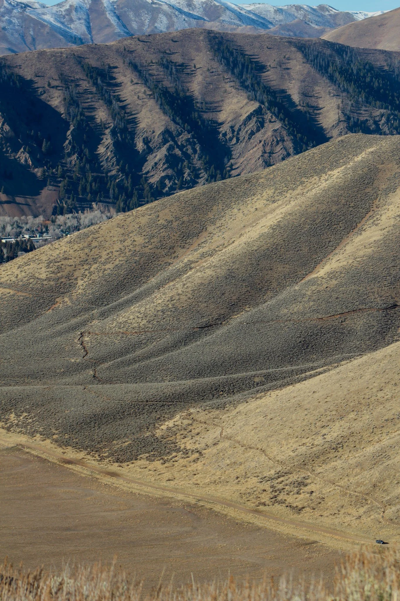
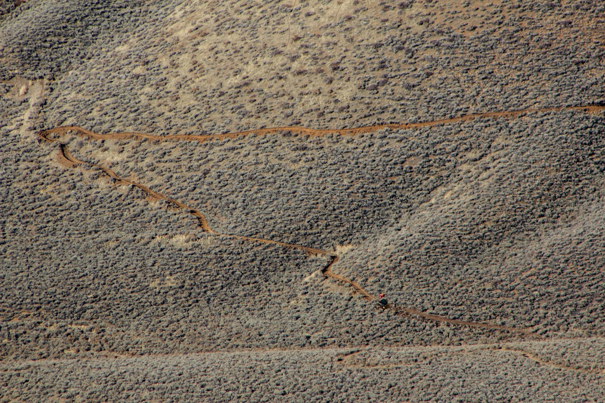
The Quigley-Hangman Connector Trail is designed to make the unofficial “social” trail an official route that connects the new Hang Tight/Loose Trails to the Quigley Loop Trail. Hikers, trail runners, mountain bikers and adaptive mountain bikers will be able to access the Hangman drainage from the Quigley side and vice-versa.
This connector trail will be about 1 mile long, and will feature 521’ of elevation gain, great for beginner to intermediate hikers, mountain bikers, trail runners and adaptive mountain bikers. Additionally, this trail will be built and maintained to a 48” tread width allowing adaptive mountain bikers , community members with mobility limitations, beginners, and families to experience the same joy and challenge the rest of our Valley’s trail system offers. This wider tread width accommodates adaptive mountain bikes up to 36” wide, strollers and anyone needing a bit more breathing room than the typical 18 - 24” singletrack trail provides.
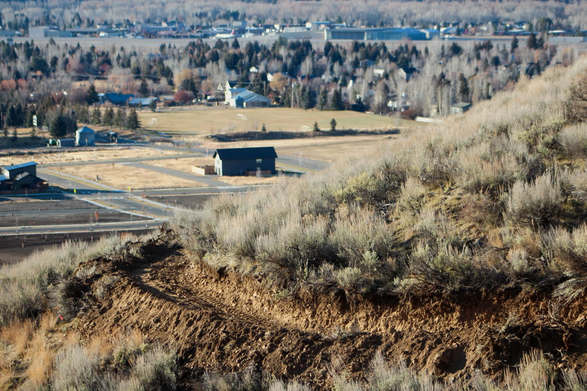
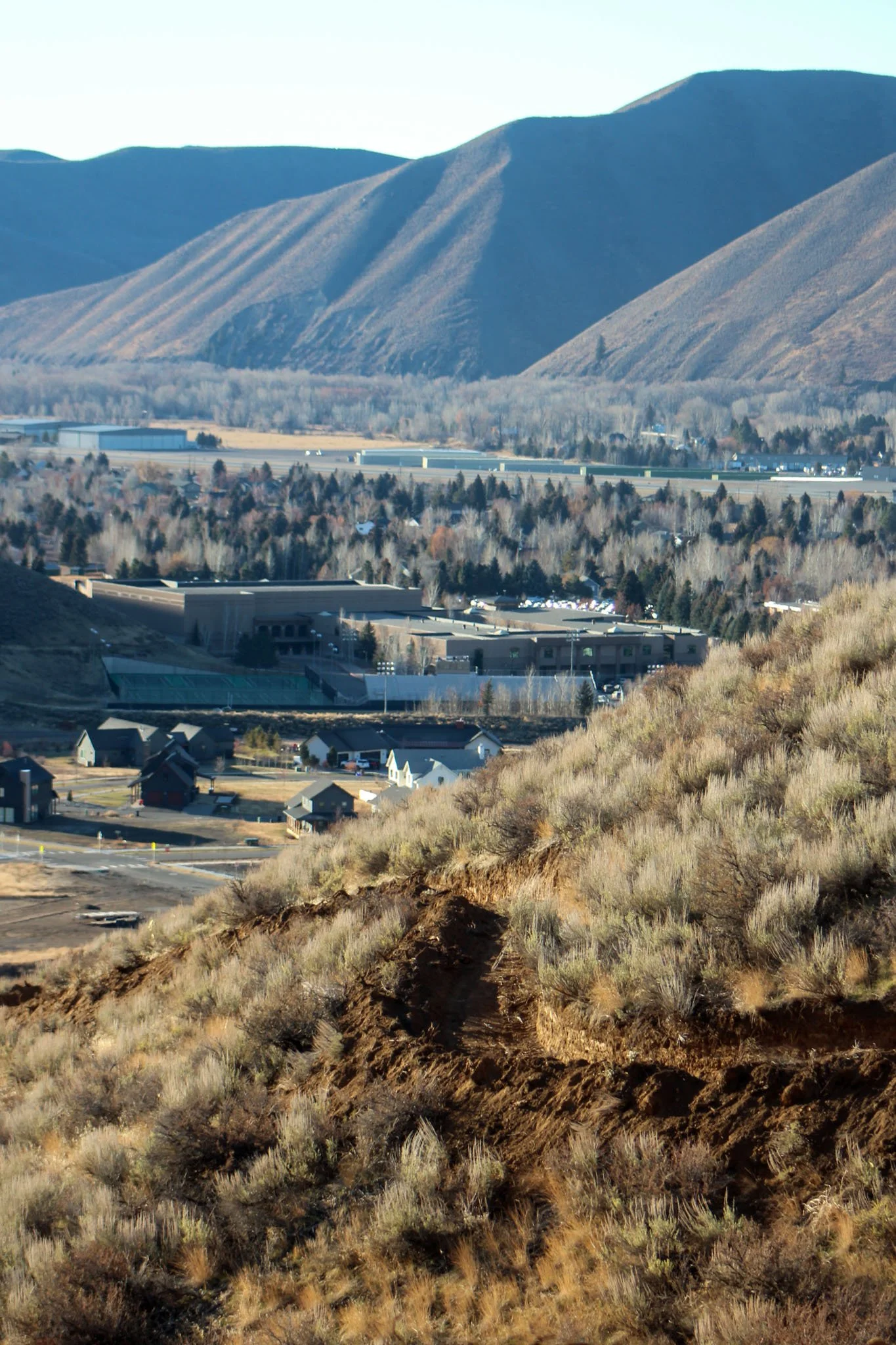
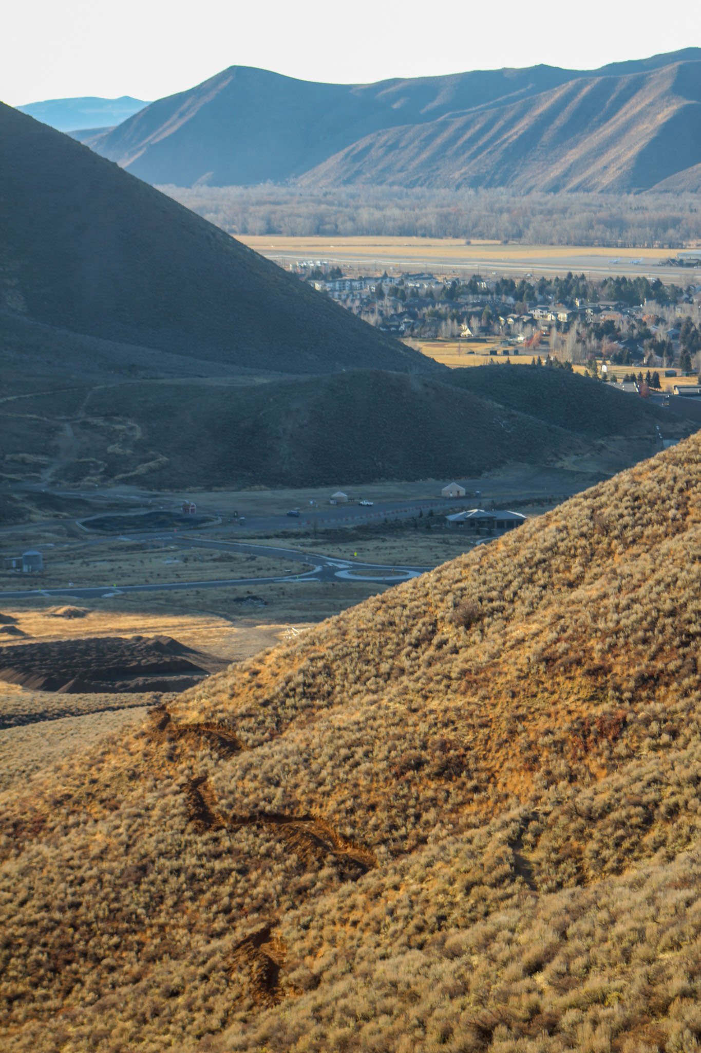
The Quigley-Hangman Connector Trail was constructed by the Bureau of Land Management (BLM) Shoshone Field Office, in partnership with the Wood River Trails Coalition, Titus Trails and the Blaine County Recreation District. It was authorized by the BLM Wood River Valley Recreation and Access Decision Record. This trail is open to Class 1, e-bikes, mountain bikes, equestrians and hikers.
The Decision Record for the Wood River Valley Recreation and Access Environmental Assessment authorizes construction of approximately 81 miles of new trails as well as seven new trailheads and 21 new designated dispersed campsites primarily in the Kelly and Quigley Gulches and Cove Creek. It also changes some existing trail designations to allow the use of e-bikes.
BY THE NUMBERS
Trail Length: 0.96 miles one way
Trail Grade: average of 8% with steeper climbs reaching 18%. The trail will be built and maintained wide enough to accommodate adaptive cyclists.
Users: Open to foot, mountain bike, equestrian and Class 1 e-bikes
Maintenance: Expect this trail to have a 48” tread width to accommodate all users.
WRTC spent
—- hours
totaling over